West Kentucky weather continued on its wild ride Thursday, as freezing rain fell on all parts of the News Edge and Weather Edge listening area — and in considerable amounts.
With sleet, snow — and more rain — expected over the next 24 hours, roads and bridges could become more treacherous, trees will continue to snap under the weight of heavy ice, and power lines will tumble.
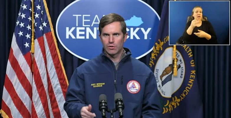
During his Thursday “Team Kentucky” update, Governor Andy Beshear noted while the Commonwealth won’t be experiencing the worst ice storm in everyone’s memories from 2009, the situation warranted a state of emergency — as the slow-moving, sometimes-stalling, storm system will impact all 120 counties in differing ways.
Thursday morning began with a simple rainfall, but as temperatures plummeted, that shifted to freezing rain and icing. Following that, a buffer of sleet and snow — mostly under half an inch — is expected in the area, and it’s a big reason why the National Weather Service’s Ice Storm Warning was extended into early Friday morning.
Temperatures will be warming over the weekend and into early Sunday morning, which Beshear mentioned will cause flooding issues in low-lying areas and in the eastern part of Kentucky.
Louisville didn’t begin receiving this precipitation until 3 p.m., and Lexington around 6 p.m., which means precipitation lingered in west Kentucky far longer than many expected.
Kentucky Emergency Management Director Michael Dossett noted this “stall” came with positive and negative effects. It meant there would be a reduced number of counties with severe icing, and that ice totals would in general be lower than expected.
However, the “stall” also meant extended travel concerns into Thursday night and Friday morning — which will naturally delay some response time for Kentucky Transportation Cabinet officials.
Dossett is one of many officials, locally and statewide, urging motorists to avoid roadways tonight and into Friday for what should be obvious reasons. Because of early rains, roadways were insufficient for brine and rock salt treatments — because it simply would’ve been washed away by precipitation.

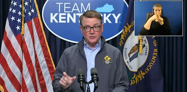
Secretary of Transportation Jim Gray noted more than 1,500 pieces of equipment were either on standby or already being deployed for road work across the state. And as of noon Thursday, trees and some power disruption had been reported down in Calloway, Christian, Hopkins, Webster, Marshall, Lyon and Trigg counties.
Gray added the deployment of rock salt will have to be well-timed, in order to create the slushing effect necessary for safer roadways.
In this state of emergency, Beshear noted that the Kentucky National Guard, Kentucky Transportation Cabinet and the Kentucky State Police operate under high alert. The governor also signed an order against price-gouging, and urged those who experienced it to report directly to the office of Attorney General Daniel Cameron.


