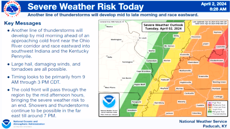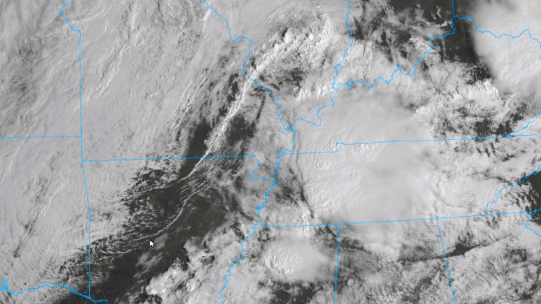
The National Weather Service has issued a Tornado Watch for Calloway, Caldwell, Trigg, Christian and Todd counties until 6 PM Tuesday — as a pair of considerable storm fronts move out of northwest Tennessee and through south western Kentucky.
Christine Wielgos, warning coordination meteorologist out of Paducah, said the highest dew points of the day are expected in the early to mid-afternoon, and that a large clearing in the Arkansas-Missouri region could help feed redevelopments.
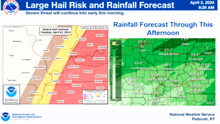
This afternoon, especially, the southern Pennyrile finds itself in a 30-to-45% zone for “severe hail,” and Wielgos reaffirmed that warm air coupled with a higher dew point generates more instability.
She also noted that there is plenty of wind shear for both fronts to work with, and that an “enhanced risk” for severe weather this afternoon exists between Paducah to Vincennes, Indiana, with a “moderate risk” expected past Elizabethtown.
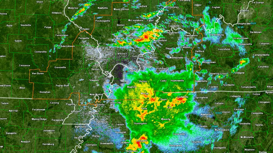
Considerable storms rolled through Kentucky late Monday night into early Tuesday morning, causing lots of damage along the Ohio River and into the Commonwealth’s Golden Triangle.